Vital Lands: 200 Years of Farms, Forests, Talus and Prairies

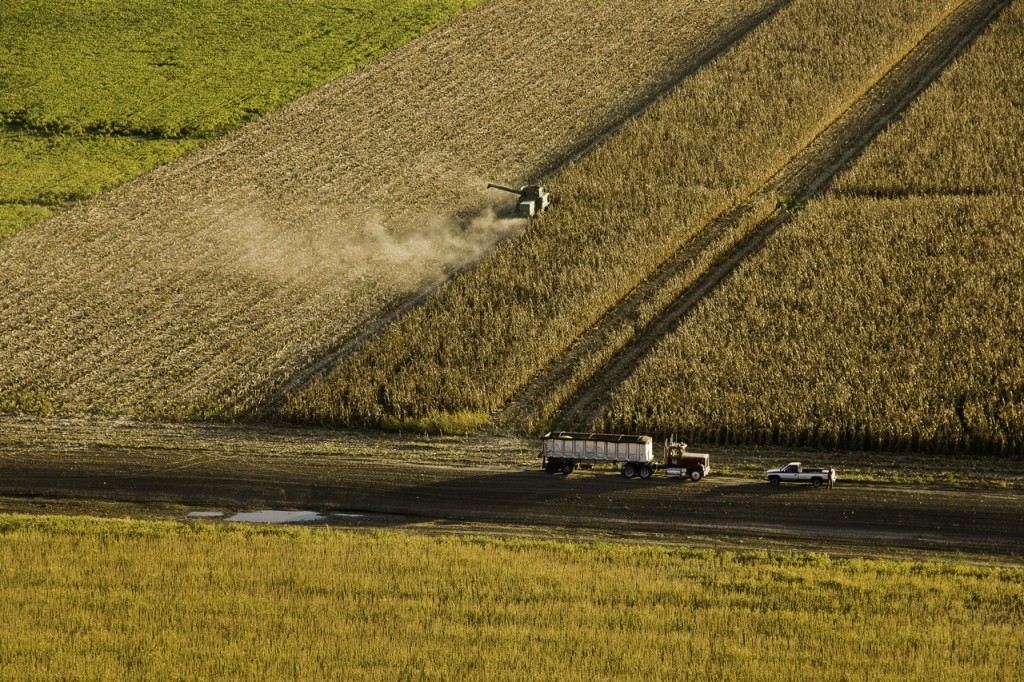
"Harvesting Below Fults Hill Prairie Nature Preserve," by Dennis Jacobsen, illustrates some of the transformative land changes and some of the continuity with the past.
They really didn’t know what to make of it and had to stretch to find comparisons to describe the vast grasslands encountered as they reached the western edge of the great forests of Eastern North America. Early explorers, with no frame of reference for lands covered in grass but largely devoid woodlands, only could compare it to the great rolling seas. The early French explorers named it “prairie,” a word derived from the Latin “pratum,” referring to a meadow. As Theodore Roosevelt put it in his 1889 The Winning of the West, Vol. I:
“We have taken into our language the word prairie, because when our backwoodsmen first reached the land and saw the great natural meadows of long grass – sights unknown to the gloomy forests wherein they had always dwelt – they knew not what to call them, and borrowed the term already in use among the French inhabitants.”
Appropriately called the ‘Prairie State,’ Illinois held about 22 million acres of prairie and 14 million acres of forest at the time of European settlement. Southwestern Illinois held far more forested acres than prairie, but several large tallgrass prairies were found here. Big Prairie, on the American Bottoms, ran for 10 miles in southern St. Clair and northern Monroe Counties. Flat Prairie, some 10 miles in diameter, was located 20 miles east of Kaskaskia in Randolph County. Horse Prairie, also in Randolph County, got is name from the presence of wild horses roaming there. And the grandest, Prairie du Long, a huge 70-square mile tallgrass prairie, stretched from southern St. Clair County through Monroe County’s eastern panhandle into Randolph County.
In 1800, a vantage point closely resembling pre-European settlement land conditions, Monroe County’s 254,000 acres consisted of 84% forest, 10% prairie and 6% watery river, creek and wetlands. The county’s population of 800 or so intrepid souls was widely scattered across the area.

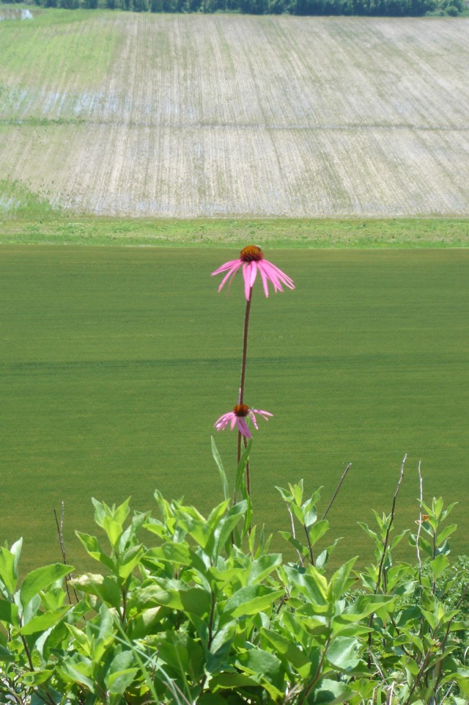
Another view from Fults Hill Prairie Nature Preserve hints at the past while showing change. Photo courtesy Ned Siegel, Clifftop.
As was the case throughout the prairie lands of North America, Euro-American settlement brought tremendous change to the landscape. Illinois and Iowa together share the distinction of “most altered” landscapes with 98% and 99%, respectively, of their lands having undergone transformative change. Our sector of Illinois also has been altered by settlement and land use transformation, but we still have areas that reflect and echo the pre-settlement past.
Two centuries of humanity have transformed the landscape. Today 33,000 residents live on 21,000 acres and earn livelihoods tied to agriculture on 75% of all acreage in the county. But the journey of transforming the landscape was and is not simply a story of more and more people ruggedly eking out personal and familial progress. The story is also about a greater family dependence of a different sort. It’s about old man river, the “father” of waters. It’s about “mother nature,” making or breaking our every opportunity. And, like it or not, it’s about our “Uncle Sam,” defining both incentives and restrictions. It defies a simple economist’s profit and loss balance sheet, and isn’t an “either-or” story of choices made.
If you are interested in learning about land use over the course of Monroe County’s 200 years, Clifftop Board of Directors members and volunteers Carl and Pen DauBach will present “Vital Lands: 200 Years of Farms, Forests, Talus and Prairies” at 1 pm on Saturday October 1st at the Monroe County Historical Society Museum, Waterloo. The event is free and open to the public.
CLIFFTOP, a local nonprofit organization, is focused on preserving and protecting area bluff lands.
A version of this article appeared in the 16 September 2016 edition of the Monroe County Independent.
© 2016 all content rights reserved Clifftop NFP
Comments are currently closed.
